Aerial LiDar Survey
“LiDaR” stands for Light Detection and Ranging

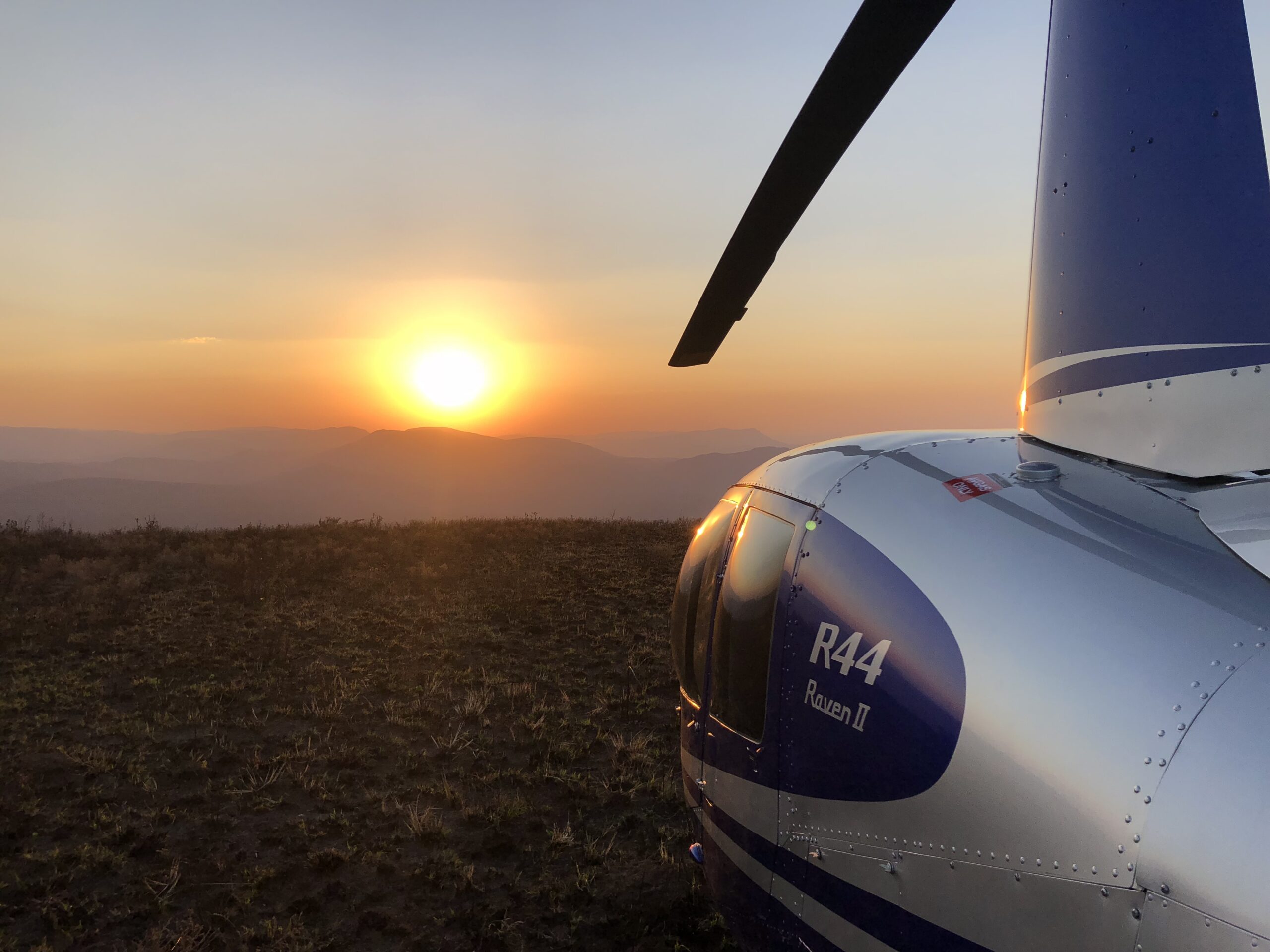
LiDaR technology uses laser, GPS and scanning technology to collect extremely precise 3D scanning information from an aerial platform. This could be a drone, helicopter or fixed wing aeroplane.
Currently, LiDaR is the most accurate form of aerial topographical determination available. It is also able to penetrate ground cover vegetation. As a result, it is used in high precision surveys. This enables the creation of detailed and accurate topographic maps. Another advantage which LiDaR has over other forms of survey is its reach, meaning that acceptable accuracy levels can be achieved across a long distance. This gives us the benefit of being able to generate reliable and precise data in unsafe or inaccessible sites.
