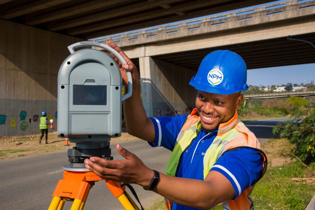
3D Laser Scanning is a fast and efficient means of gathering high volumes of high accuracy survey information. Used for complex and sensitive sites.
Some areas of application include:
- The measurement and modelling of bridges, buildings and utilities and their surrounding topography;
- Industrial and commercial upgrades, including floor level determination;
- Movement monitoring;
- Crime and accident scenes;
- Residential developments and Sectional Title; and
- Floor plans
The information is made available on a full-colour point cloud. This records the geospatial position of every aspect of the infrastructure and allows this data to be transformed into an accurate 3D visual model of the structure or feature being scanned. This is supplied as a 3D CAD drawing, floor plan, map, cross section or elevation.