Hydrographic Surveys
for dam and river bed modelling
Hydrographic surveys are carried out on dams or rivers where the profile of the dam or river bed is modelled for volume and design purposes
Engineers may require a hydrographic survey when designing a new port or calculating the volumes of water available in dam storage. And, it can be important to monitor changes in the depth of a river or port. For example, it is possible to determine whether dredging is needed and where dredging should be focused by accurately measuring the depth of a river or port
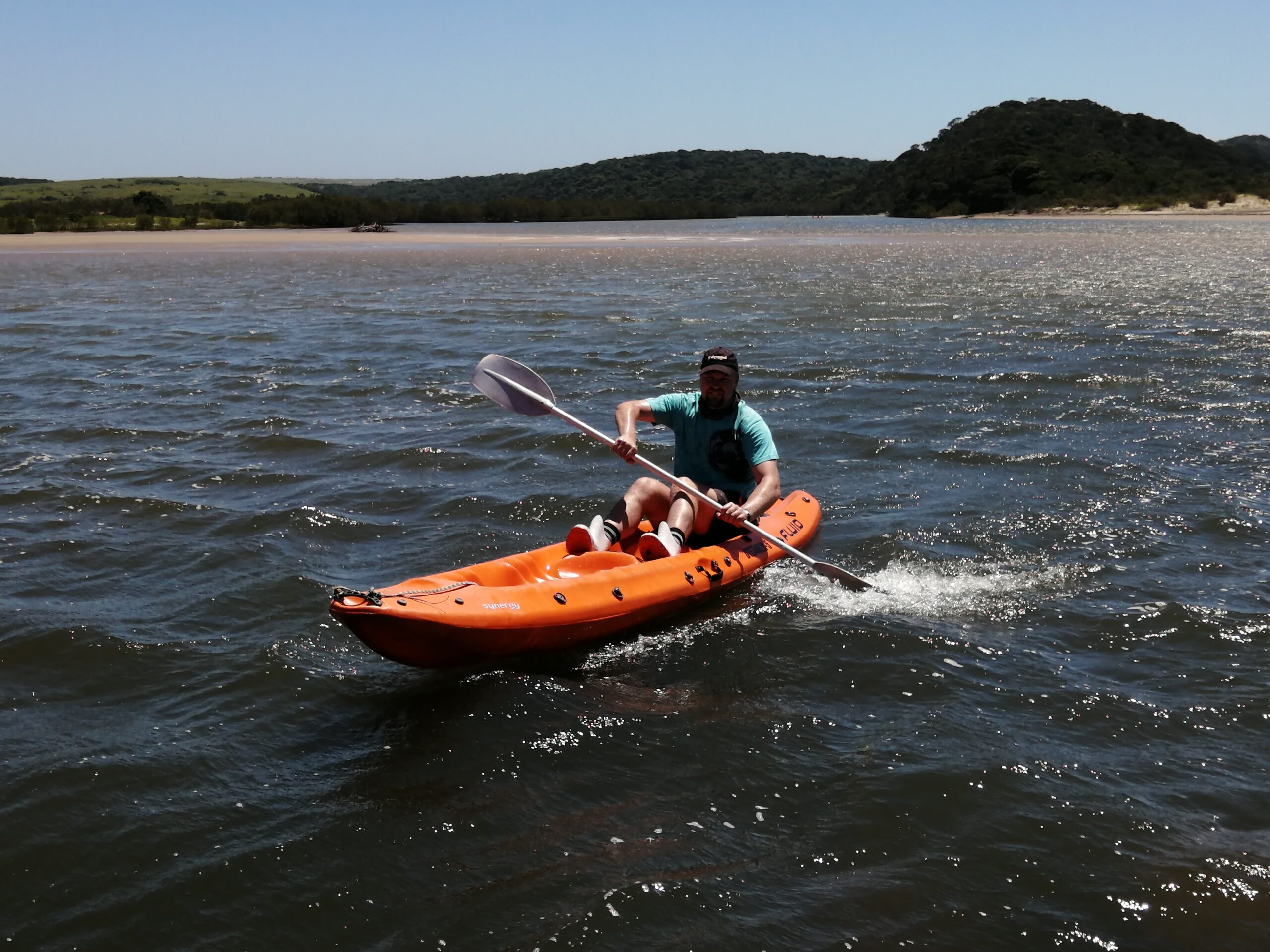
NPM Geomatics conducts all hydrographic surveys using a boat or kayak fitted with depth sounding, sonar, equipment linked to a GPS receiver.
NPM Geomatics completed the hydrographic survey of 18 dams within a 6-week period during 2011.
Hydrographic surveys can be challenging. A surveyor must take into account both the natural environment and weather patterns when setting out on the water.
In 2012, NPM Geomatics surveyed the river bed profile of the Fish River, near Port Alfred. This survey was particularly challenging. Hippo, known as world’s deadliest mammal, were known to be in the vicinity. This made it important to complete the survey as quickly as possible. However, the NPM team were faced with an added complication: heavy rainfall. This significantly impacted accessibility to the site and the speed at which the team could work. [Editor’s comment: no hippos or land surveyors were harmed during this survey.]
A recent hydrographic survey of the Orange River near Aliwal North was conducted during the winter months. This was done as the water levels are lowest in the dry season, although it required doing the survey in freezing cold conditions. Again, the environmental conditions made this project far more interesting that a simple land-based survey.