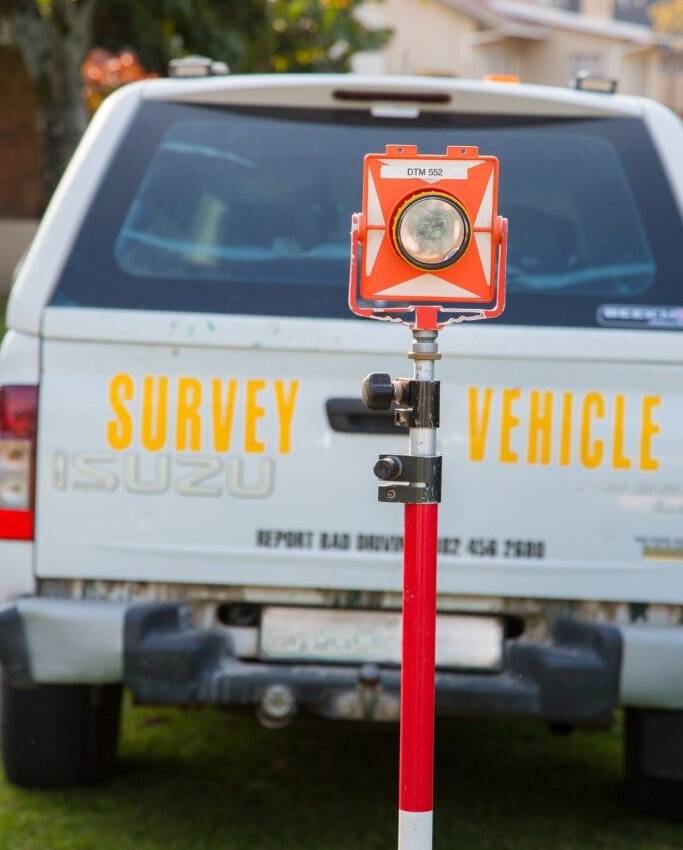
Servitude Surveys

A servitude is a right to a portion of private or public property which is “cut out” and made available to another natural or juristic persons for their use and benefit. It is essential that any servitude across a property is properly defined.
This is done by a Professional Land Surveyor who will come and demarcate the servitude and prepare a servitude diagram for consent of the municipality and approval by the Surveyor General.
Some examples of servitudes which NPM Geomatics provide include:
- Right of way servitudes – these generally allow a property owner to access their land by crossing someone else’s property.
- Sub-station servitudes – which demarcate a portion of property upon which a sub-station will be erected, when the underlying land does not belong to the entity which owns the sub-station.
- Water servitudes – often a water pipeline will cross a number of properties belonging to different owners. A water pipeline servitude will give the pipeline owner access to the full length of the line for maintenance and repair purposes.
- Overhead electrical powerline servitudes are necessary to ensure that development only occurs outside the danger zone associated with overhead powerlines. Although the property owner still has use of this land, they are severely restricted in what can be done along a powerline survey and must allow access to ESKOM for maintenance and upgrades.
