Strip Surveys
road, pipeline and powerline strip surveys

Road Strip Surveys
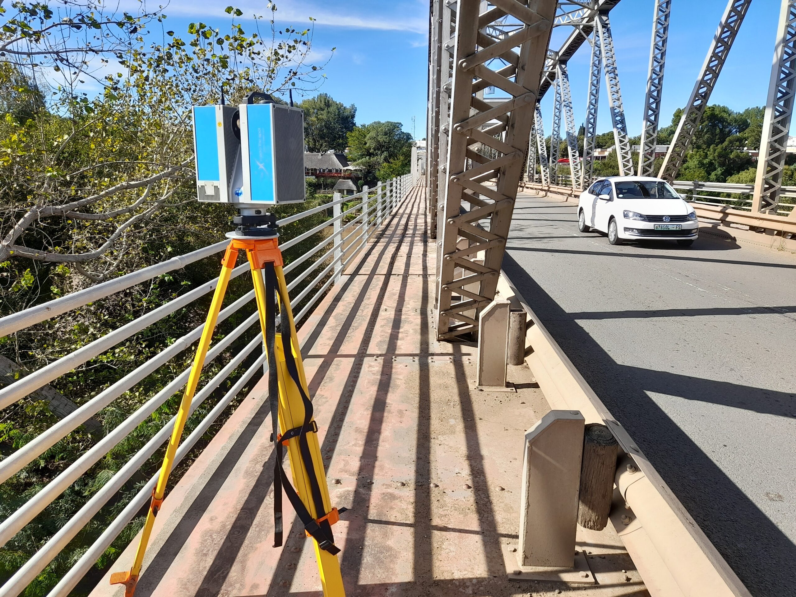
Engineers designing a new road or upgrading an existing road will typically need a road strip survey. This includes the provision of primary survey controls and the establishment of control points along the road. NPM Geomatics also undertakes levelling surveys, which give the engineer the necessary information regarding the elevation of points along the route, usually relative to the South African Hartebeeshoek 1994 datum.
The NPM Geomatics team are highly trained and equipped to survey roads to the stringent TMH11 standard as published by SANRAL. NPM Geomatics are currently contracted to undertake road and control surveys for SANRAL. In addition, NPM Geomatics is contracted to perform check surveys for strip surveys undertaken on SANRAL roads.
Pipeline and Powerline Strip Surveys
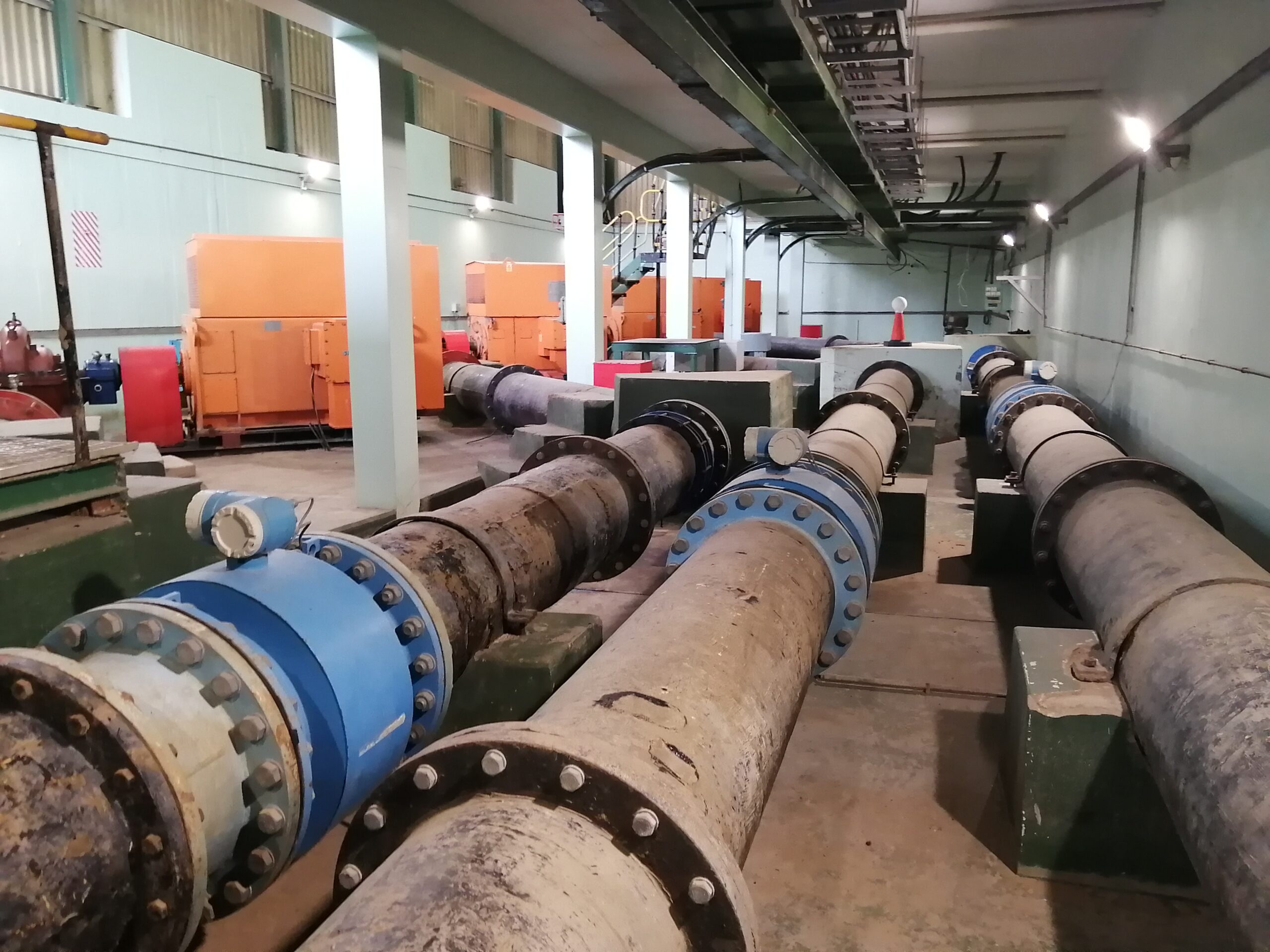
A similar need would arise when a new pipeline is being laid, either as a stand-alone project or as part of a larger water reticulation project. In this case, the engineer would require a pipeline strip survey. And where a new powerline is to be erected, NPM Geomatics is well positioned to undertake a powerline strip survey.
In most cases, strip surveys are conducted with cross sections at 10m, 15m or 20m depending on the scope of the project.

