Control and Monitoring Surveys

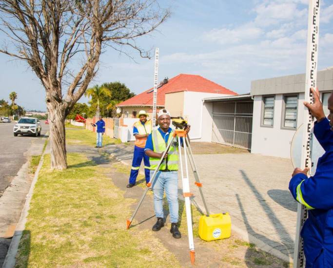
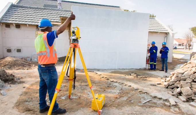
NPM Geomatics undertakes control surveys for contractors, developers, architects and engineers.
Accurate control is often required for the future setting out of infrastructure to be developed. This may include roads, bridges and buildings.
In order to obtain accurate control, NPM Geomatics uses nationally established control, such as Trig Beacons, where possible. We may also establish local control points across the area. where this is the most effective option.
In this manner, the land surveyor provides the necessary information to check the accuracy of the development according to the topography, property boundaries and construction design.
We make sure that your building, bridge or road is located in the right place and has the correct dimensions.
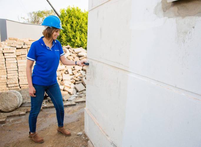
A monitoring survey is essential if there is a possibility that there has been, or will be, movement that could affect the integrity and safety of a structure.
By closely monitoring any shifts that may be taking place, the land surveyor provides an early warning system. This allows decision-makers to avoid the costly and disastrous effects of the collapse of infrastructure.
NPM Geomatics have been doing monitoring of dam walls, slopes, roads, and buildings for many years. They are also called upon to monitor retaining walls and high-rise buildings. During the construction of the Gilwell Mall in East London, NPM Geomatics land surveyors could be found monitoring the retaining walls so as to ensure that they were not being disturbed and compromised during the construction of the mall.


For a 10 year period, NPM Geomatics were actively monitoring the Langeni Pass in the Eastern Cape. This pass descends 751m down the escarpment between Ugie and Mthatha, at an average gradient of 1:22.
The 235m long viaduct over a section of indigenous forest is an example of beautiful engineering, which needs to be constantly monitored to ensure the correct maintenance programme is carried out.
