Geomatics
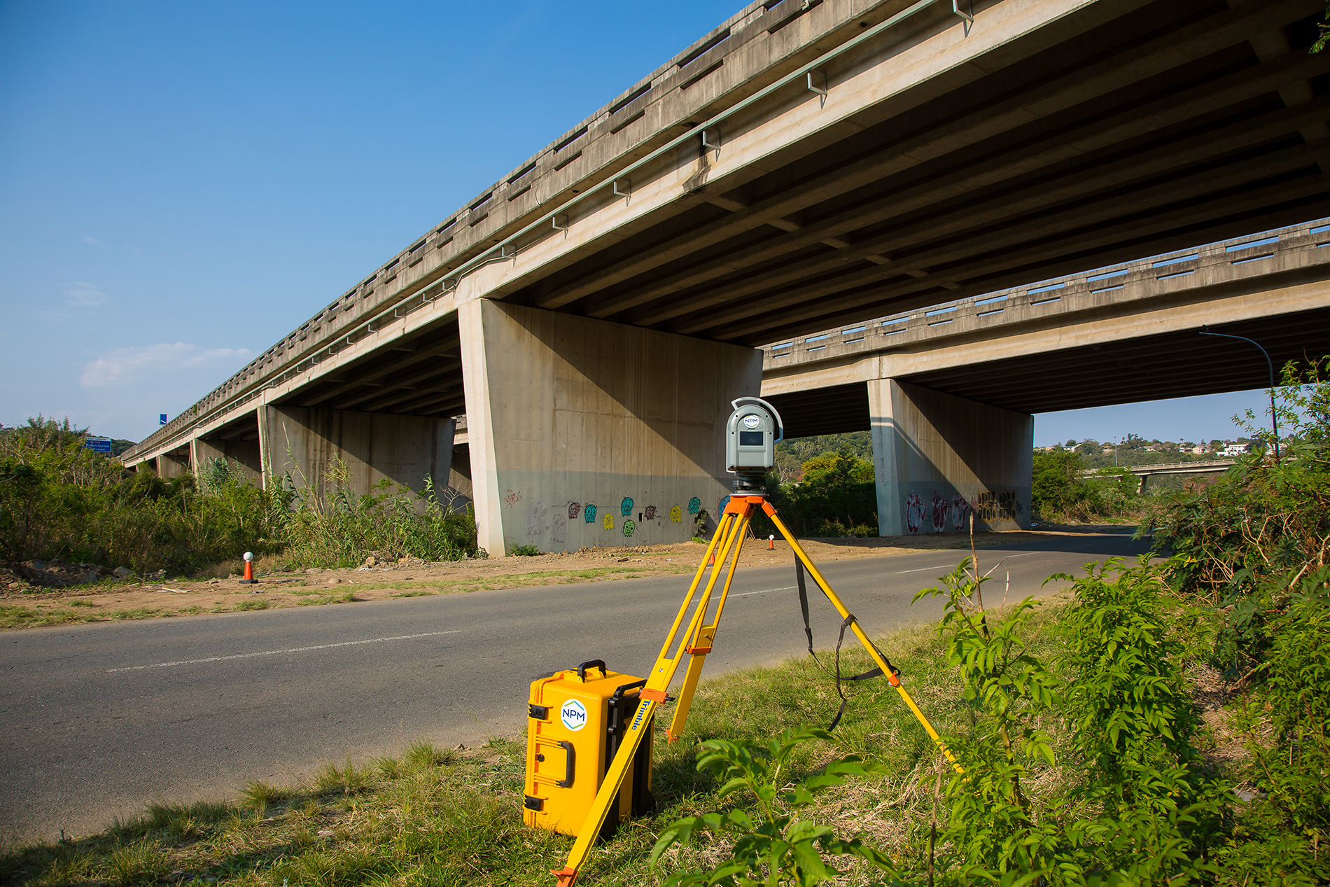
Geomatics is a modern, all encompassing term, given to the activities of collecting, managing, processing, analysing and storing geo-spatial data (geographic information). It includes the age-old profession of land surveying, as well as newer areas such as aerial photography, GIS / LIS (Geographic / Land Information Systems), remote sensing, global positioning systems (GPS) and LiDAR …

