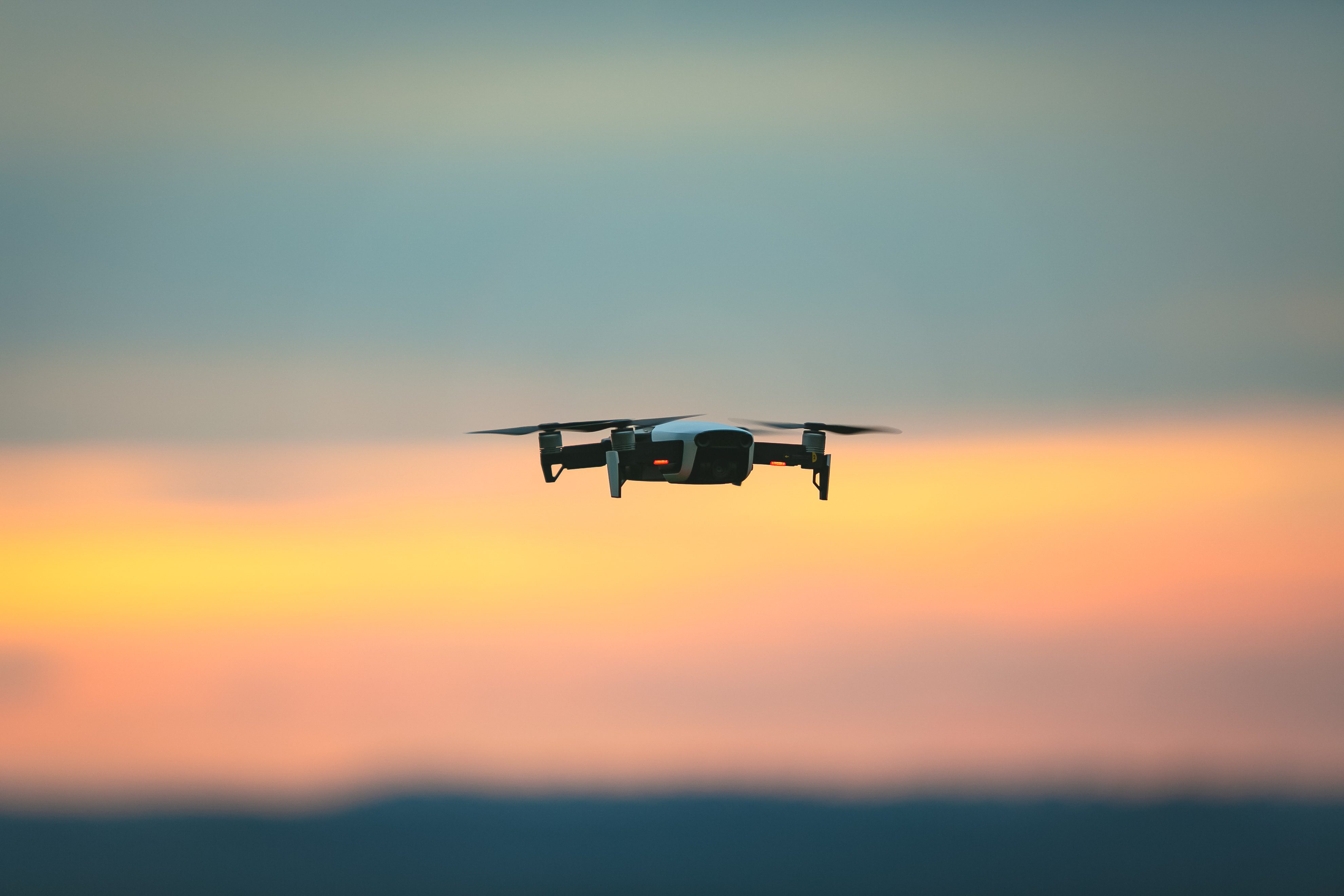
3 ways that drone have shaped land surveying as we know it!
Land surveying with a drone offers enormous potential for the rapid mapping features and obtaining visual and topographic data, reasonably quickly and safely. With a drone one is able to carry out topographic surveys of reasonable quality, and in a fraction of time. This is turn reduces the workload of specialists in the field and …
3 ways that drone have shaped land surveying as we know it! Read More »

