Land surveying with a drone offers enormous potential for the rapid mapping features and obtaining visual and topographic data, reasonably quickly and safely. With a drone one is able to carry out topographic surveys of reasonable quality, and in a fraction of time. This is turn reduces the workload of specialists in the field and cost of a site survey. As with any technology, drones have their advantages and drawbacks. For example, drone surveys can be quick and safe, but they are not suitable for obtaining contours of areas covered with long grass or bush which obscure the actual ground. But when used appropriately, are a valuable tool in a surveyor’s tool box.
Here are the three top surveyor benefits:
1: Reduce field time and overall costs
Capturing feature and services data with a drone can be faster than with traditional land based methods and also requires less manpower in the field. Provided accurate heights are not required, drones are the ideal tool for collecting a range of data for uses in planning, construction, agriculture and environmental applications.
2: Provide accurate and dense data coverage
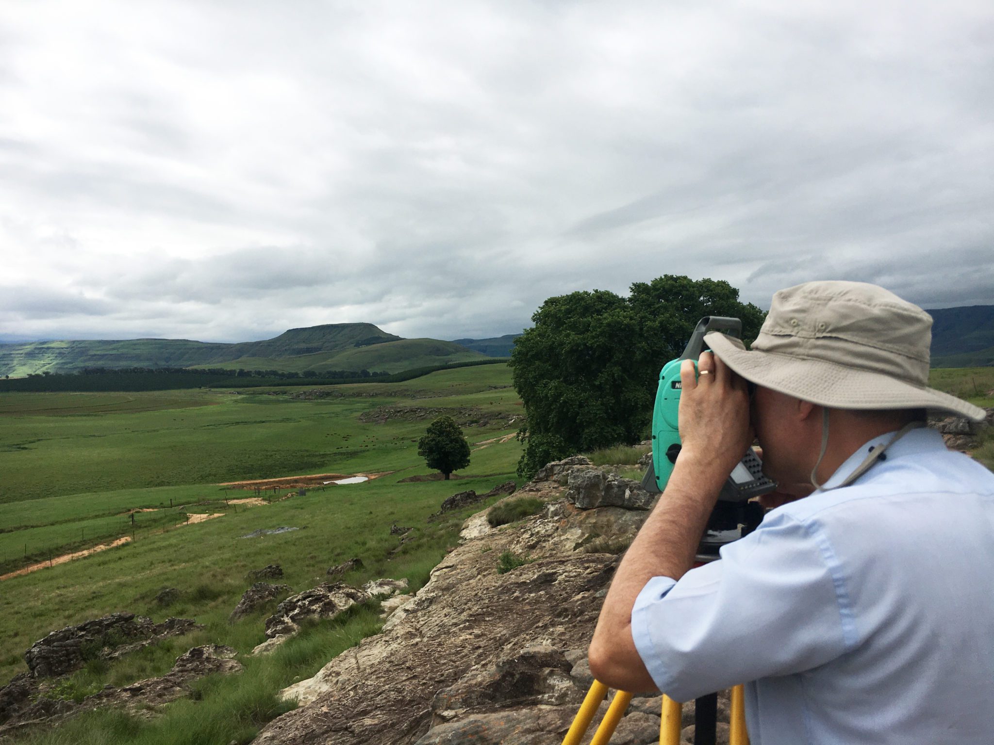
GPS and Theodolite Total stations only measure individual points. A single drone flight can produce thousands of measurements, which can be represented in different formats. In addition, the image allows the user to interpret the survey output by referring to the context of the image.
3: Map otherwise inaccessible data
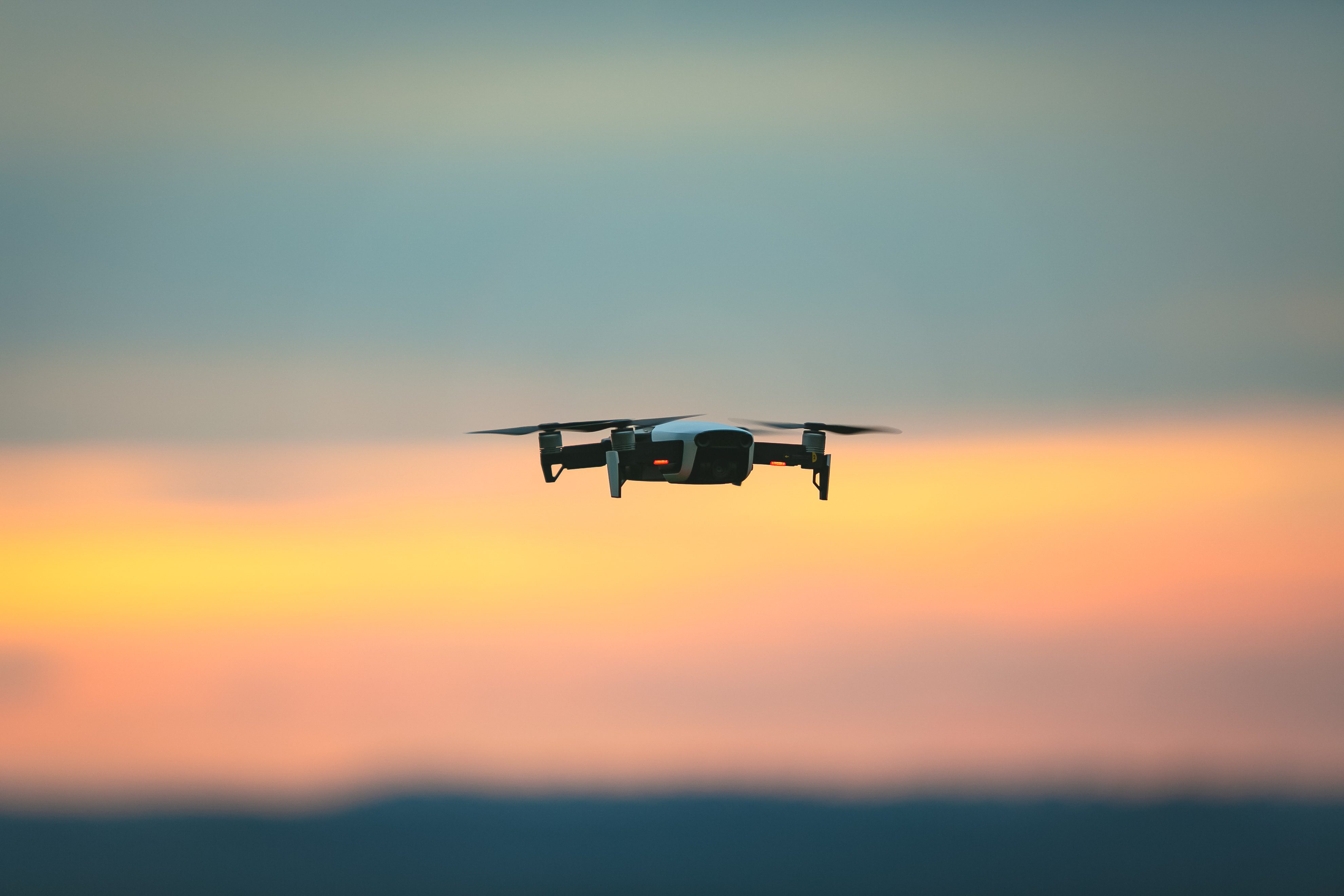
Subject to CAA regulations and permissions, a drone can take off and fly almost anywhere. One is no longer limited by unreachable areas, unsafe steep slopes or harsh terrain unsuitable for traditional measuring tools. Drones are ideal for mapping busy mining sites or stockpiles which change regularly.
**
We asked our Director Colin Davies (Land Surveyor) about his vision for the future and how drone mapping will add value to the industry.
Drone surveys are certainly going to be part of the future for land surveyors.
Drone surveys require the application of the same basic survey principles which are used in ground surveys to obtain optimal results. There is no short-cut to quality data and reliable results. And while the flying time is shorter than traditional methods, the office processing and computing time can take substantially longer due to the massive data sets which are generated.
At present, using drones for commercial purposes is heavily regulated. This is both a good and frustrating thing. Good for safety and good practice, but frustrating due to all the red-tape. Therefore NPM Geomatics works closely with licenced drone pilots who fly registered aircraft.
As mentioned above, drones can cover large sites in a short period of time and provide useful information for initial project planning and subsequent project monitoring. The benefit of doing a drone survey for initial planning is that the high order detailed survey work can be narrowed down to what is essential for final engineering designs. Similarly during construction, drones can be used to monitor progress and if required, a high order ground or laser scanning survey can be commissioned for areas of concern.
At the end of the day, the NPM Geomatics philosophy is to help our clients get the best data and best result they need for their projects. And drone technology is one of the ways in which we help our clients achieve what they are looking for.
Some of the work we have concluded
NPM Geomatics is specifically geared to offer a full range of cadastral surveys, from large scale projects, smaller developments and single subdivisions. Since 2000 the company has surveyed in excess of 20,000 erven over the past 15 years and subdivided more than 3,000 farms required for the clearance of title deeds in order for SANRAL to take ownership of their road reserves. The company has subdivided all the road reserves in SANRAL’s Southern regional and has undertaken subdivision of road reserves as far a field as Lydenburg, T’Bantchu, Port Shepstone, Ladysmith and Plettenberg Bay. NPM is currently contracted to undertake approximately 600 further road related subdivisions for SANRAL.
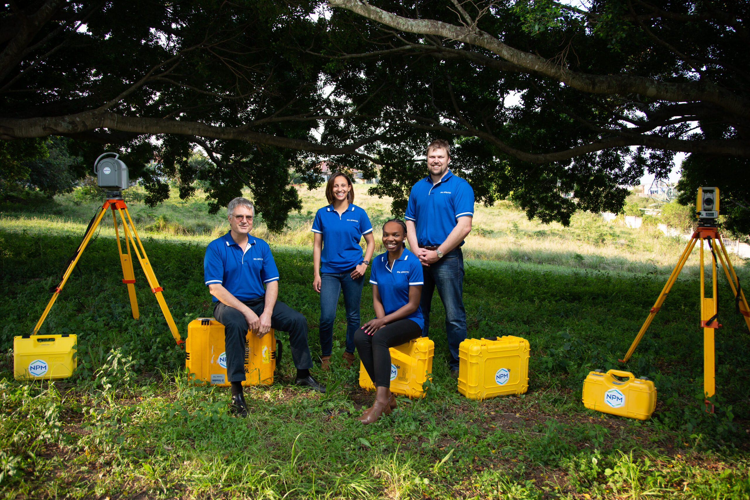
NPM Geomatics