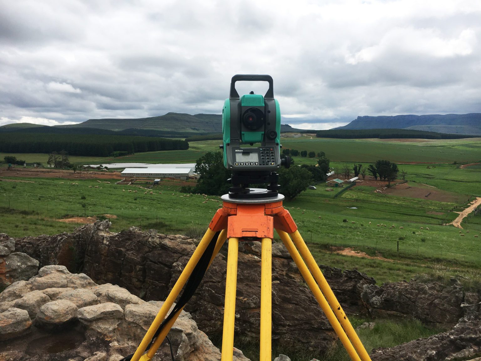
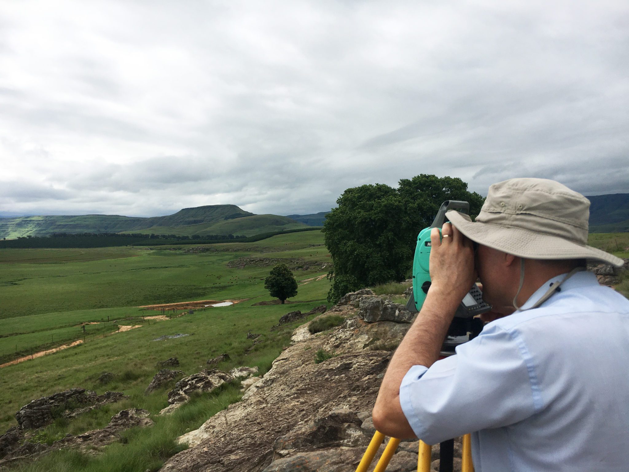
Survey for the design of a new family farm house positioned on a rocky ridge on a farm in the Maclear district.
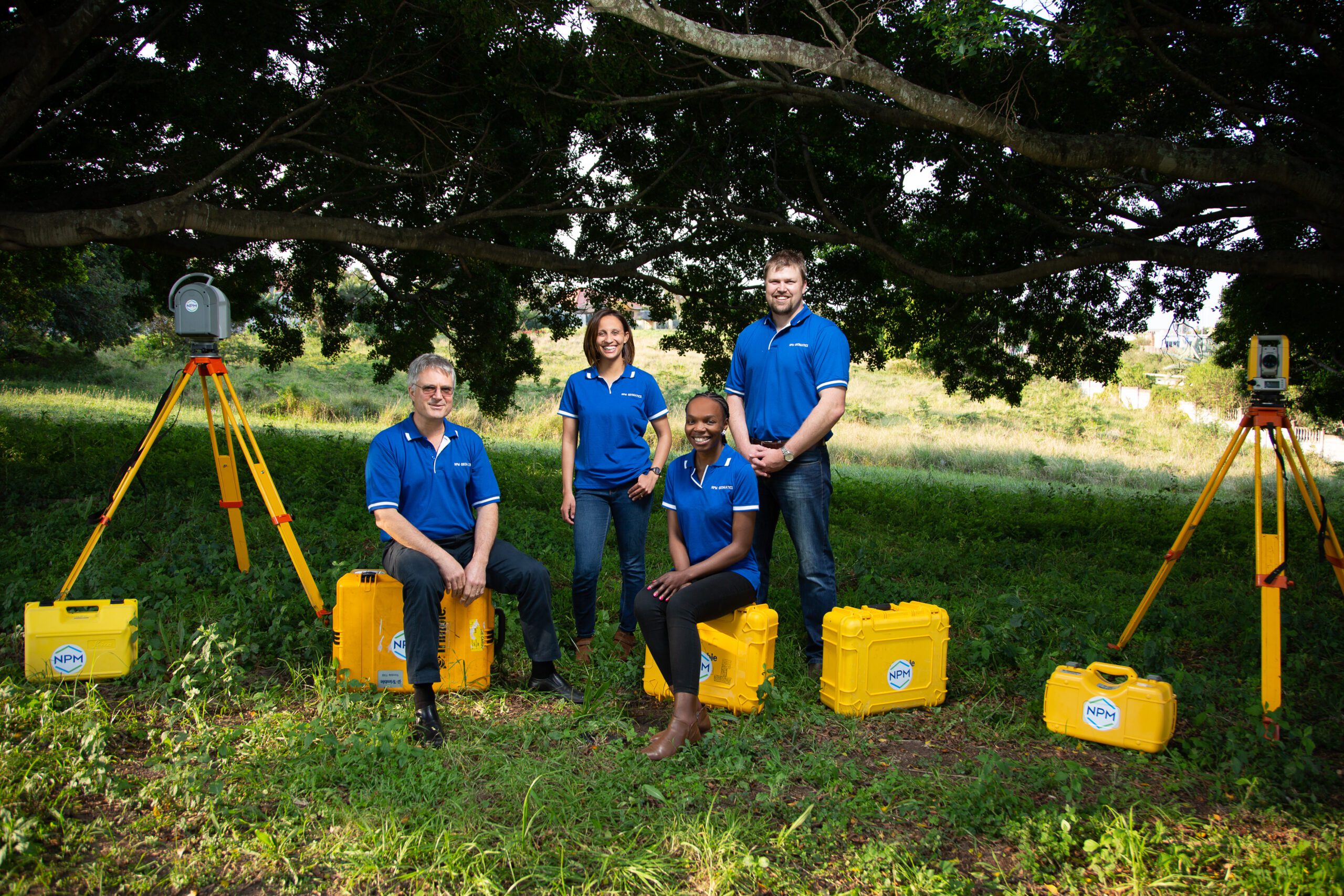
NPM Geomatics uses a range of hi-tech digital measuring instruments including 3D laser scanners, survey grade GNSS systems, total station theodolites and levels to execute surveys for our clients.
The survey will define the relative position of the rocky ridge, farm road, existing borehole and trees, and allow the architect to design the house to take full advantage of the views and elevations the site offers, whilst using off the grid and eco-friendly design principles and materials.
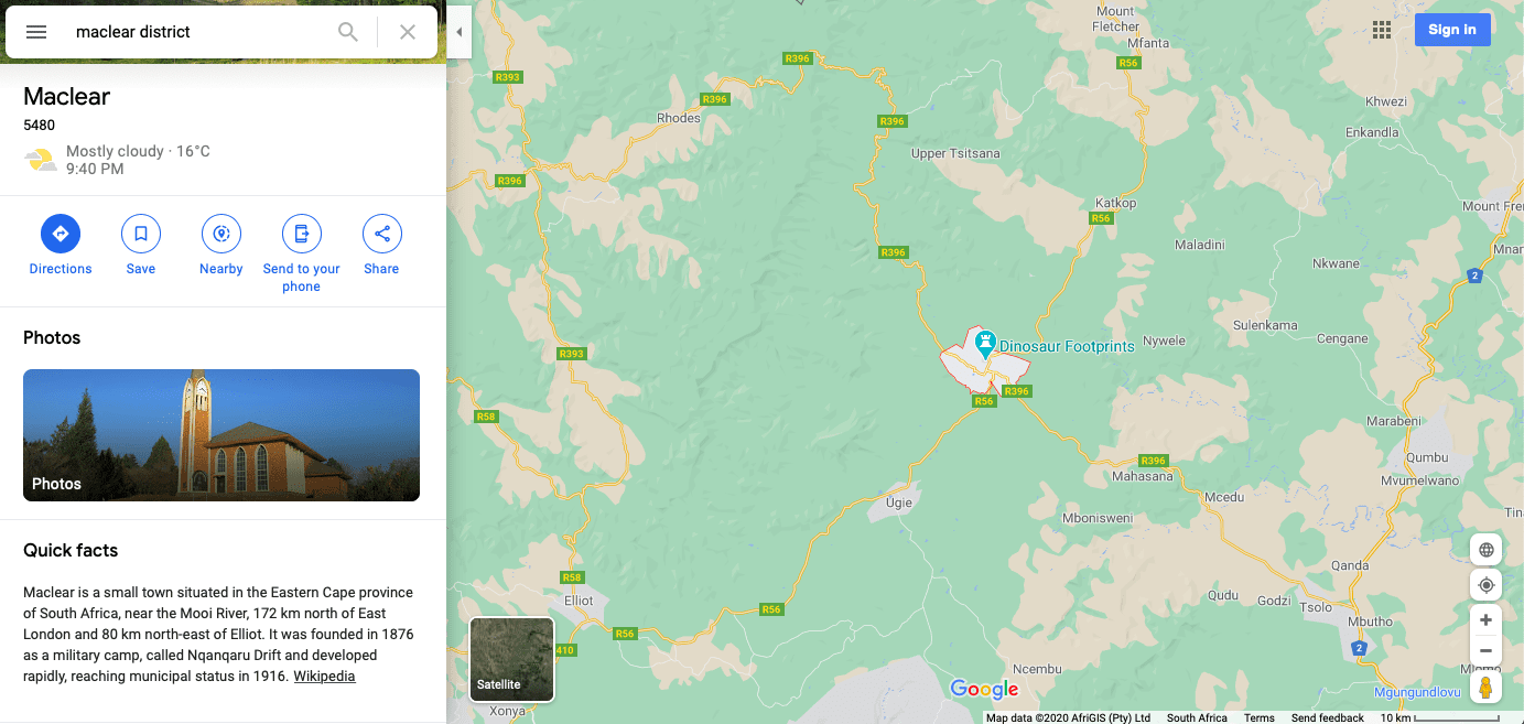
Interesting facts on the area that we currently surveying:
Maclear is a small town situated in the Eastern Cape province of South Africa, near the Mooi River, 172 km north of East London and 80 km north-east of Elliot. It was founded in 1876 as a military camp, called Nqanqaru Drift and developed rapidly, reaching municipal status in 1916. Was named after Sir Thomas Maclear (1794-1879), a famous astronomer who laid the foundation for a trigonometrical survey of the Cape Colony.